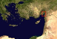
One of the primary goals of the 2009 Mopsos field season is to create topographic maps for a series of archaeological sites discovered during previous field seasons. Most of the sites are mapped by taking several hundred points with a Total Station and uploading the data into ArcGIS to create the map. The ancient city of Alexandria in modern Iskenderun must be mapped but modern development and urban sprawl have made Total Station mapping impossible. One of my tasks this year is to rectify a series of municipal maps to a Quickbird satellite image and digitize all the modern roads and contour lines of the ancient city. I have rectified all the municipal maps, digitized the roads, and, along with a student volunteer, have began the digitization of the contour lines. The whole process will take some time but in the end we will have a nice accurate map of ancient Alexandria.
Friday, June 12, 2009
Subscribe to:
Post Comments (Atom)


No comments:
Post a Comment